The everyday cost of climate change, shown by a hot dog restaurant
By Emily Holden | February 16, 2019
 A study suggests that low-lying parts of Annapolis could be almost constantly flooded by 2070.
Editor’s note: This story was originally published by The Guardian. It appears here as part of the Climate Desk collaboration.
When the parking lot in the bustling tourist zone of downtown Annapolis floods, the employees at Pip’s Dock Street Dogs restaurant take off their socks and shoes, wrap their legs in trash bags and wade out into the water.
A lot of the time, it’s not even raining. High tides intensified by sea-level rise are just pushing the water inland, overwhelming the drainage system.
Pip’s—named after owner Ryan Lamy’s daughter, whose real name is Madeline—floods inside frequently too.
“We wait for the tide to go out, and then we mop,” Lamy said. “That’s all we can do.”
Lamy has been running Pip’s for 10 years. His young daughter, pictured in photos on the walls of the restaurant, is now turning 15. And he says the flooding has only gotten worse, sometimes costing him thousands in lost sales each month.
A new study attempts to quantify those losses, as coastal communities around the country brace for more tidal flooding as warmer temperatures increase sea levels.
“What we’re seeing on the east coast now is a preview of what we’re going to be seeing on the west coast in the future as the rate of sea-level rise continues to climb,” she said.
One study showed seas rose up to five inches, an inch per year, in places between North Carolina and Florida from 2011 to 2015. Sea level rise threatens 300,000 US coastal homes. Higher elevation properties are becoming worth more in Miami, as people who can afford it move inland, according to research from Harvard.
Globally, seas were three inches higher than the 1993 average by 2017, according to the National Oceanic and Atmospheric Administration, and they continue to rise one-eighth of an inch each year.
An analysis by the Union of Concerned Scientists finds that flood-prone areas in Annapolis, where the US Naval Academy is located, could be almost constantly under water by 2070. The roughly 50 floods a year could reach 400 floods a year by 2050. The so-called “nuisance flood” days have increased 925% in 50 years, according to the NOAA.
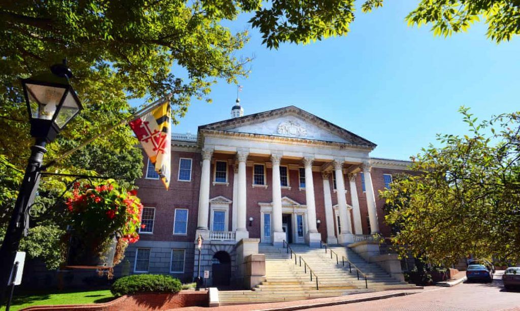
The frequently flooded area in Annapolis is just a short walk from Maryland’s historic state capitol. A political cartoon that’s been tacked to the wall at Pip’s for years depicts city officials in a boat floating by the capitol. “I say it’s time to take action on possible city dock flooding!!” it reads.
The city is planning to install pumps costing millions of dollars over the next few years.
A few doors down, at the Annapolis Marine Art Gallery, visits have stalled when the parking lot has flooded, even though the water doesn’t come past the shop’s first step.
Manager Nancy McPherson said the gallery has taken all of its low-hanging art down and driven it away four times for impending storms.
“I have tourists say all the time say ‘when will they raise the sea wall?’ And I say it doesn’t come from there. It comes from a drain in the parking lot. When the tide’s high, where is it going to go? It comes out.”
McPherson knows the flooding will only get worse, but she said the gallery hasn’t thought about relocating.
“We’re just hoping the city can do something,” she said.
Together, we make the world safer.
The Bulletin elevates expert voices above the noise. But as an independent nonprofit organization, our operations depend on the support of readers like you. Help us continue to deliver quality journalism that holds leaders accountable. Your support of our work at any level is important. In return, we promise our coverage will be understandable, influential, vigilant, solution-oriented, and fair-minded. Together we can make a difference.
Topics: Analysis, Climate Change


